
Yavapai ZIP Coverage Guide
Yavapai County has many postal routes, from Prescott and Prescott Valley clusters to small rural and mountain communities. The county research assembled the following provisional set from official GIS context and address sources. It is not a statutory county ZIP list. Several routes approach or cross county lines, and candidate box-only or unique codes still need address-level verification.
| ZIP | Area or postal label | Route context | Verification note |
|---|---|---|---|
| 85324 | Black Canyon City | Southern county | Check the exact route |
| 85332 | Congress | Western county | Verify the parcel |
| 85362 | Yarnell | Yarnell area | Address lookup advised |
| 85390 | Wickenburg edge | Cross-county possibility | Confirm county first |
| 86301, 86303, 86305 | Prescott | Standard and outer Prescott routes | Mailing city may exceed city limits |
| 86302, 86304 | Prescott | Box-route candidates | Confirm delivery type |
| 86312, 86314, 86315 | Prescott Valley | Central, north, and east routes | Check situs jurisdiction |
| 86313 | Prescott | Unique or institutional candidate | Do not assume residential use |
| 86320, 86337 | Ash Fork and Seligman | Rural boundary routes | Check Coconino edge |
| 86321-86327 | Bagdad through Dewey-Humboldt | Town and rural routes | Check city or county authority |
| 86329-86335 | Humboldt through Rimrock | Legacy, rural, and town routes | Verify current delivery type |
| 86336 | Sedona | Yavapai and Coconino | County-line check required |
| 86338 | Skull Valley | Rural route | Verify the address |
| 86339-86341 | Sedona | Box or alternate candidates | Confirm postal type |
| 86342, 86343, 86351 | Lake Montezuma, Crown King, Village of Oak Creek | Rural and mountain routes | Pair ZIP with parcel data |
The range from 86321 through 86327 includes Bagdad, Camp Verde, Chino Valley, Clarkdale, Cornville, Cottonwood, and Dewey-Humboldt. The 86329 through 86335 group includes Humboldt, Iron Springs, Jerome, Kirkland, Mayer, Paulden, and Rimrock. Grouping keeps the table readable, but every specific address should still be tested with the postal and county tools.
Yavapai ZIP Routes, Not Borders
The official county ZIP-layer metadata rejects a common myth: ZIP codes are linear delivery routes, not true polygons. They can be noncontiguous. The mapped layer is an approximation built from Census 2000 material, ESRI ZIP data, voter-registration ZIPs, roads with ZIPs, and parcels. County staff revalidated it against voter-registration mailing ZIP information in late 2020 and early 2021.
That method is useful, but the county says the layer is not fully accurate. Parcel-line digitizing makes a route easier to view on a map. It does not turn the route into a city or county boundary. This distinction is central to the Yavapai County ZIP code directory.
Search Yavapai Residents by ZIP
The county GIS accepts ZIP as a search category and can highlight the generalized ZIP layer. It also searches addresses, parcels, places, roads, and districts. A ZIP result does not produce a verified list of people or owners. Public parcel records must be opened one at a time, and each name must remain tied to its role as owner, not presumed occupant.
- Enter the ZIP in the Yavapai County GIS and select the matching geography result.
- Turn on parcel, municipal, and district context. Check whether the location is incorporated.
- Verify a specific deliverable address with the USPS tool before relying on its postal code.
- Open the assessor parcel by situs address or APN to establish land and jurisdiction.
- Use the correct official record source. Move to the Yavapai County street directory when the search has narrowed to one street.
Arizona voter files are not a general ZIP-based residents list. My.Arizona.Vote is an identity-matched self-service portal. Full-file access is restricted to purposes authorized by A.R.S. §16-168, with protected fields and secure delivery rules. It should never be republished as a postal directory.
Yavapai ZIP Search Fields
The inspected county help material documents these useful search modes. Cloudflare blocked a live parcel-card inspection, so exact button order and partial-match behavior were not confirmed. Use the field names as search concepts and follow the current interface.
| Search mode | Input type | Required | What it does |
|---|---|---|---|
| Address | Text or autocomplete | Optional | Use street number and road name without city, state, or ZIP |
| APN or parcel | Text | Optional | Uses the parcel identifier across property sources |
| Owner | Text | Optional | County represents owner-name search as available |
| ZIP Code | Text or result category | Optional | Highlights or zooms to the ZIP layer |
| City, town, or place | Result category | Optional | Shows geography, not legal jurisdiction |
| Roads and districts | Result category | Optional | Adds election, fire, school, and other context |
The county's downloadable neighborhood and road maps can resolve obscure place names before a ZIP search. The captured resource represents a county series with 1,345 neighborhood sheets and a 126-page road atlas.
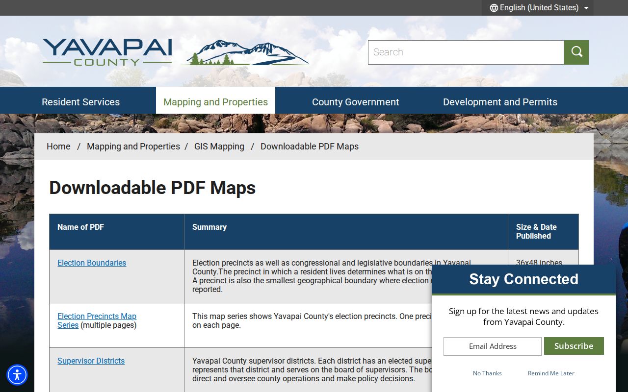
Those maps show scale and road context, not a resident roster. Use them to find the right locality, then return to a parcel or official record keyed to a specific address.
Verify Yavapai ZIP Addresses
The USPS ZIP Code Lookup is the address-level check for a delivery code. It is especially important for routes flagged as cross-county, box-only, or unique candidates. The manifest capture shows the official postal form used to test a complete address.
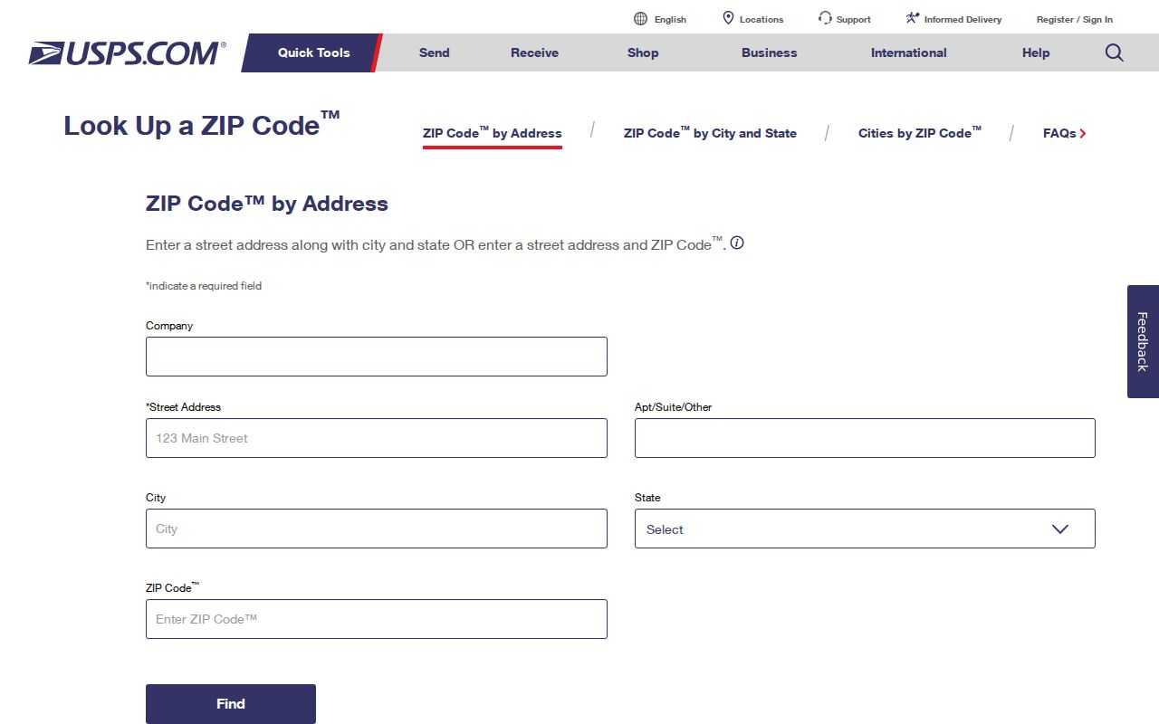
A valid postal result answers mail delivery. It still does not identify a resident or determine the county permit office. Follow with the assessor's situs record. A situs address is the parcel's physical address, while a mailing address is where the owner receives tax mail. Their ZIPs can differ for ordinary reasons.
Note: Verify both the deliverable address and the parcel before choosing a Yavapai County records office.
Sedona ZIP Crosses Counties
Sedona 86336 is the clearest Yavapai ZIP geography quirk. The postal community crosses the line between Yavapai and Coconino counties. A Sedona mailing label therefore cannot decide which assessor and recorder apply. Select the parcel in GIS and read its county location before following property, permit, or court records.
Similar care is needed along Ash Fork and Seligman routes near Coconino County and at the Wickenburg 85390 edge. Rural delivery routes often make sense for mail without matching government borders. The Yavapai County ZIP code directory marks those edges because an incorrect county choice can send a record request to an office that never held the file.
Define Yavapai ZIP Types
Postal types matter when a search is meant to find a physical area. The research flagged several candidates whose current type was not confirmed. Until USPS verifies an address, 86302, 86304, and 86339 through 86341 should not be called box-only as a settled fact, and 86313 should not be called a residential area merely because it has a Prescott label.
- ZIP code
- A five-digit postal routing code used to sort and deliver mail.
- ZIP+4
- The basic ZIP plus four digits that narrow delivery to a smaller segment or recipient group.
- PO-box ZIP
- A code used chiefly or solely for post-office boxes rather than a mapped residential district.
- Unique ZIP
- A code assigned to one high-volume organization or institution.
- Carrier route
- The path or group of addresses served by a mail carrier, not a legal boundary.
A box code may still appear in a person's mailing address. It does not reveal the location of a home. A unique code may identify an institution. Neither should be plotted as if it were a normal neighborhood.
Prescott ZIP Directory Context
Prescott and Prescott Valley have clusters of related ZIP codes, but preferred city names do not settle incorporated limits. The public Prescott Chamber directory can filter organizations by keyword, category, city, state or province, county, ZIP, and country. Its captured form shows a ZIP-aware civic and business resource.
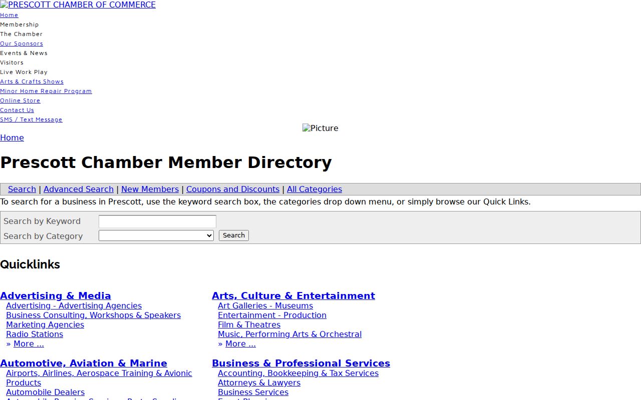
Results may show a member's address, work phone, description, website, map, and member-since year. This is an organization directory, not a household list. It can identify a local institution or service connected with a family-history clue, but it cannot establish who lives at an address.
Yavapai ZIP Map Changed
Yavapai County launched a new GIS interactive map on May 6, 2026, after the old underlying technology reached end of life in 2024. A public-comment period followed from May 11 through June 12. Older screenshots and instructions may no longer match the current controls even when the same parcel and ZIP data remain available.
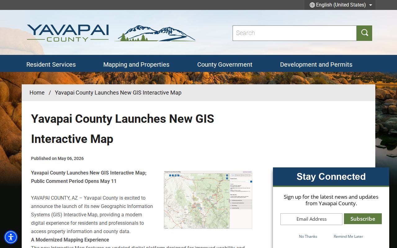
The launch notice helps date interface changes. Searchers should rely on concepts such as ZIP, parcel, place, and district rather than an old button location. Capture the retrieval date when a mapped edge is important to the conclusion.
Note: A newer interface does not remove the county's warning that ZIP geography remains an approximation.
ZIP Codes and Old Directories
Modern ZIP codes do not belong in territorial or early city-directory searches. Yavapai's older records use street names, town names, legal descriptions, post-office references, and county boundaries of their own era. A current ZIP can help locate the modern area, but it should not be written back into an old source.
Address changes add another layer. The Yavapai County Addressing Division assigns or corrects numbers in unincorporated areas, including out-of-sequence or wrong-side numbers. Incorporated places may use their own authority. When an old number no longer matches, compare the current APN, legal description, road history, deed, directory, and map. The parcel, not the present ZIP label, supplies continuity.
The same caution applies to Yavapai's 1864 boundary. The original county covered about 65,000 square miles, and places later carved into other counties can appear in its early records. Match both date and geography before drawing a resident trail.