
Walk a Yavapai County Street
A street-by-street search starts with the physical site, not a name. The county parcel map can standardize the situs address, which means the place where the parcel sits, and return an assessor parcel number, or APN. That stable number helps separate similar road names and links the map to tax and deed evidence. The assessor identifies the current owner of record. It does not supply a complete list of people who live there. Mailing and situs addresses must be copied as separate facts because tax mail may go to another place.
Once the target parcel is clear, the Yavapai County street directory can be extended along the road by clicking nearby parcel shapes. Record each APN and public owner only when it serves a lawful property, family-history, or civic question. Sequential house numbers do not guarantee that tax parcels touch. A road can cross a subdivision, city boundary, ZIP approximation, or unincorporated land.
- Enter the street number and road name in the Yavapai County Assessor/GIS Parcel Search, leaving out city, state, and ZIP as county help directs.
- Confirm the standardized situs, APN, parcel boundary, and jurisdiction. Save mailing and situs addresses in different fields.
- Open the acquisition deed by owner or document number, then match its legal description to the parcel.
- Use regulated voter material only for an authorized purpose. It is not an open household browse.
- For an older occupant, move to the confirmed reverse directory and released census evidence.
Yavapai County Street Search Fields
The county map supports address, parcel, owner, ZIP, place, road, and district searches. Its live parcel-card fields were blocked during research, so exact button behavior should not be assumed. The verified modes below are enough to choose a sound starting key. Address works best for the first parcel; APN is stronger when a deed, permit, or old map uses a changed street name.
| Map search | Input type | Required | Use on a street |
|---|---|---|---|
| Address | Text or autocomplete | Optional | Use street number and road name without city, state, or ZIP. |
| APN or parcel | Text | Optional | Keeps the same land tied together across other records. |
| Owner | Text | Optional | Finds the roll entry; partial-match behavior was not verified. |
| ZIP Code | Text or result category | Optional | Highlights an approximate postal area, not a legal boundary. |
| Place, road, districts | Result categories | Optional | Adds city, fire, school, and election context. |
GIS offers identify, select, Quick Measure, and printable PDF or JPG output. These tools help walk the visible parcels and measure distance. No verified public feature exports every owner within a radius. The county relaunched this map in May 2026 after its older technology reached end of life, so older screen instructions may not match the current interface.
Note: Record the retrieval date because ownership, assessment values, map layers, and portal controls can change.
Yavapai County Records Keyed by Street
No single Yavapai County street directory is a complete resident roll. The strongest method chains sources while preserving what each one can and cannot prove. The parcel roll concerns current land ownership. Deeds show recorded parties and transfers. Permits date work. A reverse directory may name a listed occupant or business for one publication year.
| Address source | Local keeper | What it can show | Access route |
|---|---|---|---|
| Assessment roll and GIS | Yavapai County Assessor | APN, current owner, situs, mailing and parcel context | Free map plus Prescott or Cottonwood counter |
| Recorded instruments | Yavapai County Recorder | Deeds, liens, releases, plats, surveys and recording dates | Online index, two counters, phone, or written request |
| Tax account | Yavapai County Treasurer | Tax status, bill and parcel account | Online Tax Inquiry |
| Permits | County or incorporated city | Work, dates and named application roles | Citizenserve or the correct municipal office |
| Historical address listing | Arizona Memory and Sharlot Hall | Listed occupant or business in a published year | Digital viewer or research center |
The full chain reads: address to APN, APN to present owner, owner to acquisition deed, deed seller to an earlier purchase, then era-correct address to directory or census. A property-tax status does not establish who occupies the site. Permit evidence identifies an applicant, owner, or contractor only in that file.
Yavapai County Address Terms That Matter
Small labels prevent large mistakes. A modern street number is convenient, but the land identifier and mapped description often survive longer than the way an address is written. These terms keep a Yavapai County by-address search grounded in the record actually viewed.
- Parcel
- A mapped unit of land maintained for assessment. One address may involve more than one parcel.
- Situs address
- The physical address assigned to the parcel, distinct from the address used for owner mail.
- Plat
- A recorded map showing a subdivision, lots, blocks, streets, and other surveyed features.
- Criss-cross directory
- A directory arranged by street or number so a known address can lead to a listed person or business.
Use the legal description and APN to test whether an old and new address refer to the same land. A mailing address can be a useful lead to an owner, but it never proves that the owner occupies either location.
Follow Yavapai County Streets Into Deeds
The Yavapai County Recorder document-search gateway leads to the recorded-document index. General documents are verified from 1904 forward, while subdivision maps and land surveys reach 1864. Start with the current owner's acquisition deed and its document number. Search each party under likely spelling variants. Then match the legal description, dates, and document references before treating a hit as the same parcel.
The Recorder calls its index a guide, much like a card catalog. Its legal-description search is meant for maps, plats, surveys, and mining claims. It is not a substitute for walking an ordinary deed chain by grantor and grantee. When an online trail reaches the 1904 line, the Prescott and Cottonwood counters, deed books, microfilm, archives, and an identifiable Arizona Public Records Law request form the fallback path.
Yavapai County also offers a free Recorded Document Alert. A person can register an individual or business name and receive an email with basic recording data and a link when that name appears in a new filing. The service can flag a deed or lien worth checking, but it neither blocks nor validates a document. Common names can create false matches. Open the filing and compare its parties, document type, date, and parcel before adding it to a street directory record.
The official Recorder search page shown here explains the document-search channel and its limits.
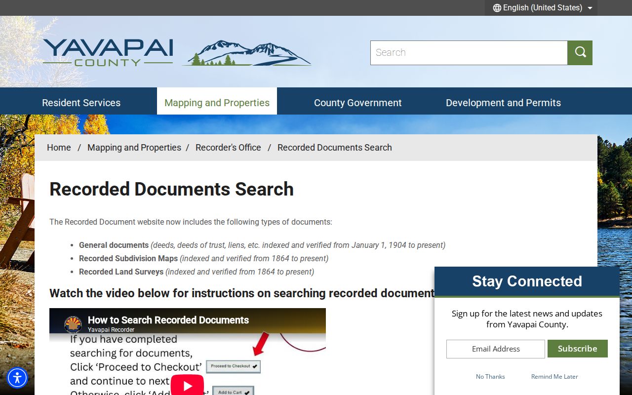
The captured gateway belongs between the parcel search and any earlier-owner claim, since an index match still needs its document and parcel context checked.
Yavapai County Streets Can Be Readdressed
Yavapai County Addressing assigns new numbers in unincorporated areas and may correct a number that is out of sequence or on the wrong odd or even side. Applicants need the APN, and documents pass through Citizenserve. Incorporated cities and towns may have their own authority. That split matters because a county road name, postal city, and municipal permit office do not always describe the same jurisdiction.
Before declaring that an old occupant lived at a different place, preserve the former number from a deed, directory, map, or permit. Then compare the legal description and parcel. Prescott's 1864 grid with wide streets differs from later subdivisions and the county E911 system. Rural roads can also be renumbered. Modern ZIP information cannot bridge an old house number by itself.
The county Addressing page illustrated below is the official route for address assignments and changes in unincorporated Yavapai County.
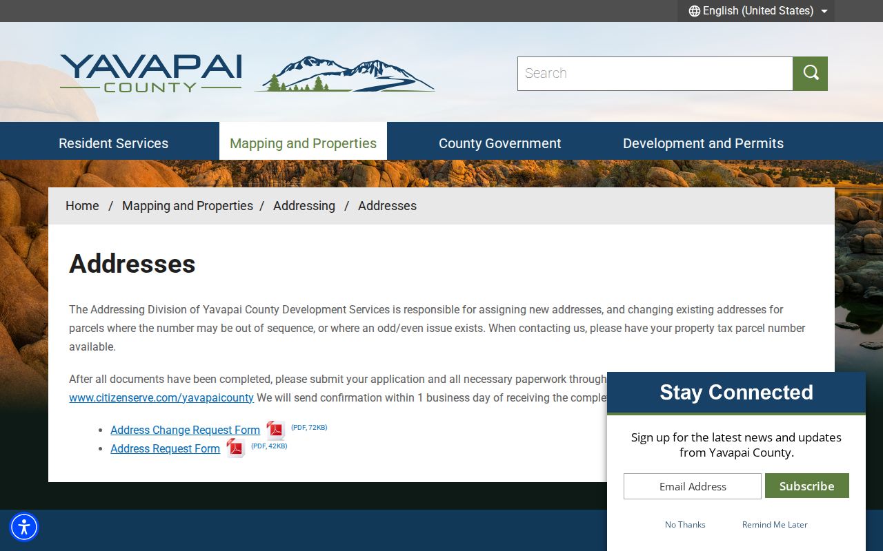
Its forms can explain why one parcel appears under two street numbers, a key check before joining records from different years.
Note: Address confirmation may be quick, but permit and archival coverage must be checked with the office that holds each file.
Yavapai County Street Permits Need Context
Development Services holds building, grading, septic, well, and land-use records for unincorporated Yavapai County. Its One Stop process dates to 2001, though no exact searchable archive cutoff was verified. A 2026 software migration also means links and field labels may shift. If an address falls within Prescott, Cottonwood, Jerome, or another incorporated place, begin with that city or town instead of assuming the county holds the permit.
A permit can date new work or an addition and may identify an owner, applicant, or contractor. It does not document continuous occupancy. When online search fails, contact the right office, supply address and APN, and request identifiable existing files. Arizona Public Records Law allows inspection of public records during office hours and prompt copies, subject to protected material and the office's actual reproduction process.
Offline routes matter across a county this large. Assessor and Recorder counters operate in both Prescott and Cottonwood, so Verde Valley research does not have to rely on a county-seat web portal alone. Phone contact can confirm the right counter and help a requester arrive with an APN or document number. Written requests work best when they name the exact existing record, date range, address, and preferred electronic format. That fallback keeps the Yavapai County street directory usable when a CAPTCHA, map change, or permit migration interrupts online access.
Reverse Yavapai County Street Evidence
The verified historical address-to-name tool is the 1963 Luskey's Prescott Criss Cross City Directory, which also names Bagdad, Chino Valley, Humboldt, and Mayer. Search the era-correct street and browse nearby numbers. Then check the same name in alphabetical pages. Optical character recognition can misread digits, and a gap may reflect the publication rather than an empty property.
Earlier digitized directories cover selected years from 1903–04 through 1963, not a continuous run. The Yavapai County city directory collections provide the full shelf and reading method. On a street search, their role is narrow: they connect one old address to a listed occupant or business. Census, newspaper, deed, and obituary evidence should test the match.
Yavapai County Street Voter Limits
Arizona's precinct register can include a registered voter's name, party preference, registration date, and residence address. The electronic list may include other specified fields. Yet A.R.S. §16-168 limits access and use to defined political, election, redistricting, and other authorized purposes. It bars commercial use and Internet redistribution. Participation history shows only that a person took part in an election, never how a ballot was marked.
My.Arizona.Vote is an individual self-service tool for registration, polling, and ballot status. It is not a Yavapai County street directory. Protected voters may have identity and address information sealed under A.R.S. §16-153, and Address Confidentiality Program information is not an ordinary public street record.
Limits of Yavapai County Street Records
Public parcel and deed records can name owners. They do not list every resident, child, guest, or other household member. Utility and delivery customer data stay outside this chain. MVD address data is closed under federal privacy law. Suppressed assessor and Recorder details, protected voter records, sealed court files, and Address Confidentiality Program addresses may be absent for a valid safety reason.
A responsible Yavapai County street directory labels each finding by role: owner of record, deed party, listed voter under authorized access, permit applicant, or historical directory occupant. None should be silently converted into “current resident.” If the goal shifts from a full road to one named person, use the Yavapai County resident lookup and confirm identity across distinct sources.
Lawful use. Yavapai County address records support family history, parcel research, civic inquiry, and scam checks. Never use them to stalk, harass, intimidate, or harm anyone.