
Yavapai County Previous-Resident Time Layers
Start with the source closest to the year in question. Current parcel data provides the APN, standardized situs, present owner, and legal description. The Recorder then carries ownership back through deeds. Directories and census schedules switch the question from who owned the land to who was listed there. A map or permit describes the site, not its full household.
| Source layer | Verified local span | Where to consult it | Evidence it adds |
|---|---|---|---|
| Recorder general index | 1904 to present | Yavapai County Recorder online and counters | Conveyance parties, dates, document numbers |
| Maps and surveys | 1864 to present | Recorder index and counter | Subdivision, survey, mining, and map identifiers |
| Digitized directories | Selected years, 1903–04 to 1963 | Arizona Memory | Listed people, businesses, and addresses |
| Confirmed reverse directory | 1963 | Arizona Memory | Address to listed occupant or business |
| Federal census | Released through 1950 | National Archives and library databases | Household at the census residence |
| Prescott Sanborn map | October 1890 | Library of Congress | Building footprint, use, and address context |
| County permits | One Stop since 2001 | Development Services | Work, application roles, and project dates |
For recent past residents, begin with parcel and deed evidence. For the mid-twentieth century, test the 1963 reverse directory and nearby directory years against the census. Before the general online deed index begins, use maps, deed books, microfilm, homestead sources, newspapers, and archive help.
Yavapai County Previous Owners in Deeds
The backward trail to previous residents starts with today's APN and acquisition deed. An APN is the assessor's parcel number. It is more durable than a street label and helps reject deeds for a same-named person on different land. The Recorder warns that its index is only a guide. Search spelling variants, inspect the linked document, and compare the legal description before placing an owner in the chain.
- Find the current parcel in the Yavapai County GIS search. Save the APN, situs, owner, and full legal description.
- Search the present owner in the Recorder index and open the acquisition deed. Record the grantor, grantee, recording date, and document number.
- Search the seller, or grantor, as an earlier buyer, or grantee. Match the legal description before accepting the deed.
- Repeat that seller-as-buyer step until the online general index reaches its 1904 boundary.
- Continue through the Prescott or Cottonwood counter, deed books, microfilm, and archive catalog for earlier or unclear links.
- Grantor and grantee
- The grantor transfers an interest; the grantee receives it.
- Chain of title
- The linked sequence of recorded transfers concerning the same land.
- Legal description
- The formal land description used to match a parcel even when its street number changes.
- Index and image
- The index points toward a filing; the document image or official copy supplies its text.
The Recorder indexing guidance shown below explains how documents enter the county's record system.
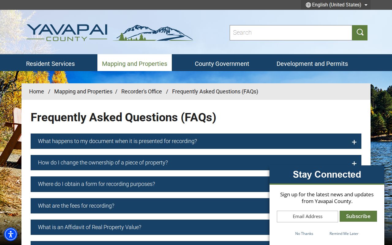
That process explains why a name match is a lead, while the recorded document and legal description remain the evidence for the parcel.
Crossing Yavapai County's 1904 Record Line
Yavapai County general documents are verified online from 1904 forward, but maps and land surveys reach 1864. That uneven span is a local quirk. It does not mean all pre-1904 ownership disappeared. It means the research channel changes. Take the last known party, document reference, legal description, subdivision, and approximate date to a Recorder counter or written request. The Prescott office and Cottonwood Annex both serve record users.
Legal-description mode can locate maps, plats, surveys, and mining claims. The Recorder expressly cautions against using that mode to manufacture an ordinary title chain. Earlier books, microfilm, and transferred archive material still need party and document work. FamilySearch's Yavapai homestead records from 1871–1905 may add federal land-entry context, but a homestead paper is not automatically the final county deed.
Note: Maps and surveys can bridge a renamed subdivision, yet they identify land rather than every person who lived on it.
Yavapai County Past Residents Between Years
Ownership is only half of address history. The 1963 Luskey's criss-cross volume is the confirmed reverse source for Prescott and named outlying places including Bagdad, Chino Valley, Humboldt, and Mayer. Browse the era-correct street, record the listed occupant or business, and inspect nearby numbers. Then check the alphabetical pages and another source. A person can be omitted, a number can be misread, and a business listing need not describe a household.
- Choose the directory year nearest the event and normalize surname variants, initials, street name, and number.
- Record the exact entry and role. Do not assume a listed occupant owned the property.
- Pair early runs with nearby 1900, 1910, or 1920 census context; pair later runs with released schedules through 1950.
- Compare deed parties, newspapers, obituaries, and cemetery evidence before concluding that a disappearance means death or departure.
- Track changed numbers through an era map, legal description, APN, and county or municipal addressing files.
The directory collection has gaps. The 1953–54 volume is full for Prescott and its immediate area but offers names-only lists for more than thirty outlying communities. Absence in Cottonwood, Crown King, Seligman, Yarnell, or another rural place has less weight than a checked Prescott street page. The Yavapai County city directory explains the collection years in depth.
Map Yavapai County Previous Residents Carefully
The Library of Congress Prescott Sanborn map contains seven sheets dated October 1890. It can show building footprints, use, street layout, and address context within its coverage. It does not name every person inside a structure. Pair it with an old directory, newspaper, deed, or census schedule rather than reading a mapped building as proof of occupancy.
Prescott was laid out in 1864 on a grid with wide streets. Later Yavapai County subdivisions and E911 addressing follow different systems. County Addressing can change numbers that are out of sequence or on the wrong odd or even side in unincorporated areas, while incorporated places may control their own addresses. Parcel identity and the legal description bridge those systems more reliably than a modern ZIP.
Yavapai County Permits Describe the Building
County Development Services records may date building, grading, septic, well, or land-use work in unincorporated Yavapai County. The One Stop process dates to 2001, though the inspected sources did not prove an exact online archive cutoff. Incorporated addresses must be routed to the correct city or town. A 2026 software migration makes current portal instructions worth checking before a request.
A permit may name an owner, applicant, or contractor. Keep that role as written. It does not prove the person lived at the property or remained there. Use permits to explain a new structure, addition, or change in use. Then return to deeds, directories, census schedules, or obituaries for the people question.
Yavapai County Previous Residents in Archives
Sharlot Hall Museum Research Center connects directories with newspapers, obituary and cemetery indexes, census material, historic photos, maps, oral histories, and manuscript collections. Remote research includes the first thirty minutes without charge, then costs $25 per hour, with a stated two-to-three-week response. A focused request should include the name, address variants, year range, and sources already checked.
Its newspaper trail reaches the 1864 territorial era. Search OCR as a lead, then inspect the page image because surnames and house numbers can be wrong in machine text. The old Sharlot Hall indexes can close a previous-resident trail through an obituary, burial entry, Pioneers' Home record, or census name. Any index hit still needs the underlying notice or record.
Yavapai County Residents After the Address
A person who vanishes from the next directory may have moved, died, been omitted, or fallen outside that volume's scope. Historical Arizona birth and death images can supply names, dates, and places for genealogy. Under A.R.S. §36-351, birth records transfer for public archival access after 75 years and death records after 50 years. The historical index reported births from 1855–1945 and deaths from 1870–1970 during research. Those images are not certified copies.
The Arizona historical vital-record statute shown below sets the archival transfer periods.
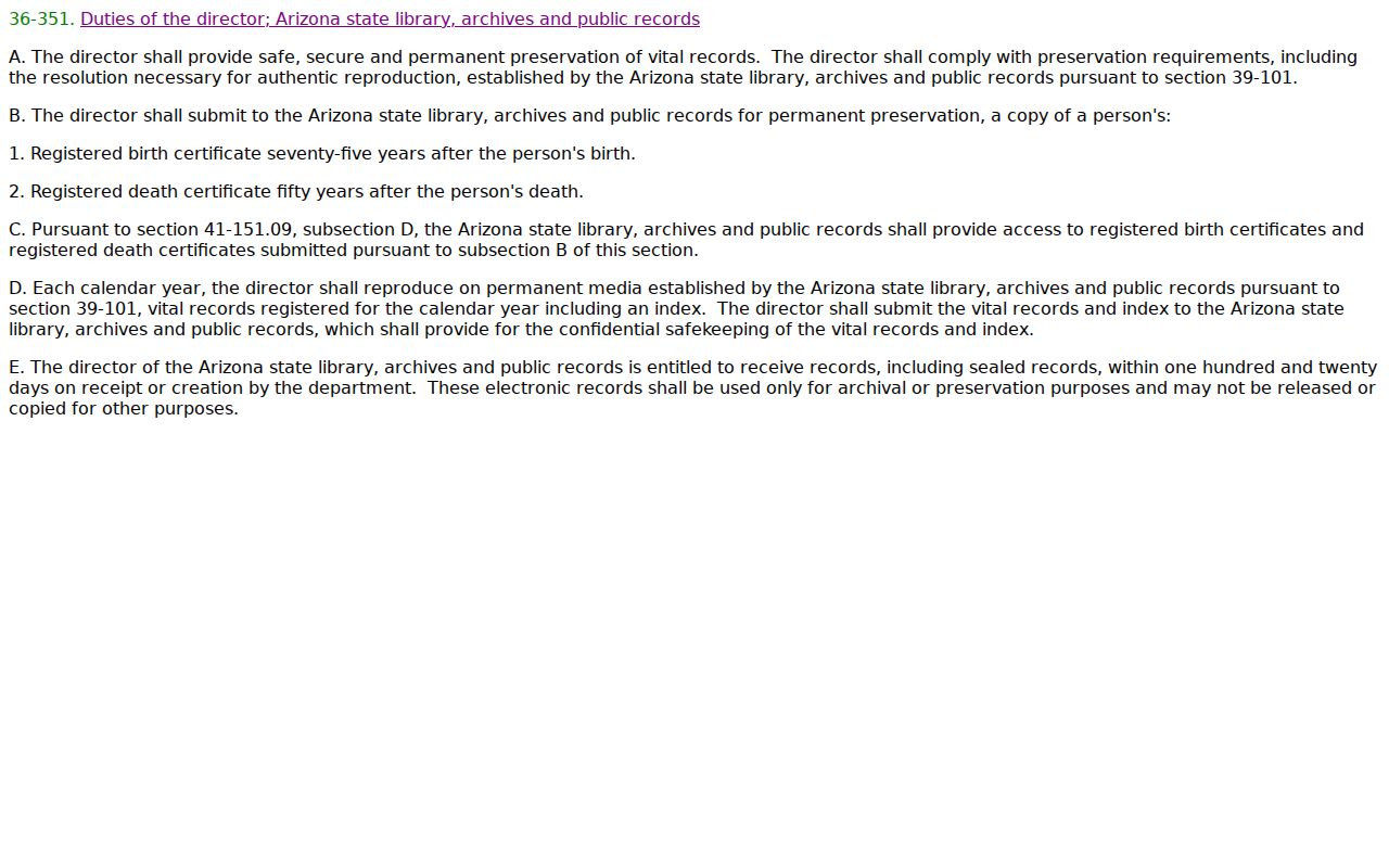
The statute helps date when a historical image may open, while certified modern copies remain subject to separate eligibility rules.
Probate can also identify heirs, representatives, and estate property. Search the state court index as a lead, then request the official Yavapai County file from the Clerk. Older files before 1992 go through the historic Prescott courthouse route. Requests may be made in person, by email, mail, or phone. Sealed and confidential material remains unavailable without proper authority.
The county's municipal court contact page pictured here shows why court jurisdiction must be checked before asking for a file.
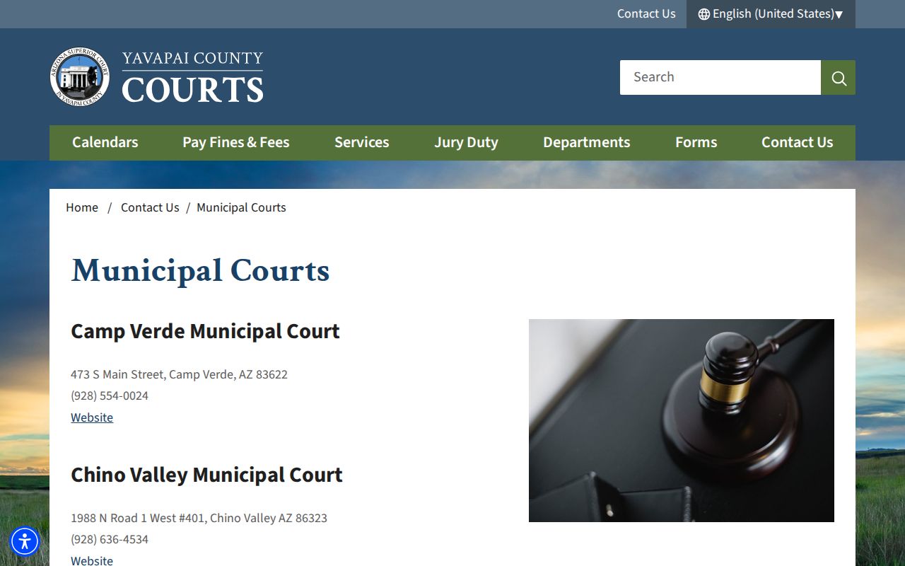
Municipal courts, justice courts, Superior Court, and federal courts keep different files, so the correct custodian matters more than the nearest courthouse name.
Federal Clues for Yavapai County Residents
Some trails leave county custody. Federal census records are released under the 72-year rule, making 1950 the latest public census in 2026. Federal land-entry material can explain an early claim before the later county deed. A federal court filing may contain a property-related clue, but it is a separate record system and should never be treated as a complete Yavapai address roll.
PACER, the federal court records service shown below, is distinct from Arizona Public Access and the Yavapai County Clerk.
Use it only when a known federal case supports the address history, and verify each fact in the actual docket or filed document.
Yavapai's changing boundary also matters. The county began in 1864 at roughly 65,000 square miles, and later counties were carved from it. A territorial record labeled Yavapai may concern land now in another county. Match the event date to the boundary that existed then before joining it to a modern parcel.
Keep Yavapai County Resident Roles Separate
A sound previous-residents file records the role beside every name: grantee, grantor, assessor owner, listed occupant, business operator, census household member, permit applicant, heir, or adjacent owner. The labels are not interchangeable. A mailing address may belong to an owner who lives elsewhere. A directory listing may omit unlisted household members. A permit applicant may be a contractor. These distinctions keep previous residents from being confused with a past owner or a person tied only to a filing.
Official sources also have limits. Protected addresses, sealed files, and confidential modern vital records may stay hidden. Do not try to defeat those controls. House history, family history, heir research, and preservation work can proceed with public evidence and clear uncertainty.
Lawful use. Research on Yavapai County previous residents belongs in legitimate house and family history. Never use it to track, threaten, harass, or harm a living person.